|
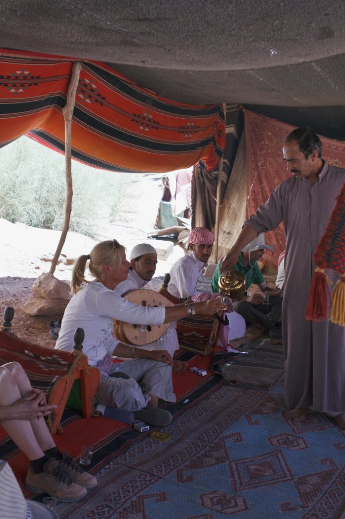 |
| Tea ceremony | |
| Latitude: N 29°28'7,78" | Longitude: E 35°26'56,64" | Altitude: 1132 metres | Location: Wadi Rum | State/Province: Al Aqabah | Country: Jordanië | Copyright: Ron Harkink | See map | |
| Total images: 22 | Help | |
|
|
|
| Tea ceremony | |
| Latitude: N 29°28'7,78" | Longitude: E 35°26'56,64" | Altitude: 1132 metres | Location: Wadi Rum | State/Province: Al Aqabah | Country: Jordanië | Copyright: Ron Harkink | See map | |
| Total images: 22 | Help | |